VALONSADERO ROUTES
CAVE PAINTINGS ROUTE
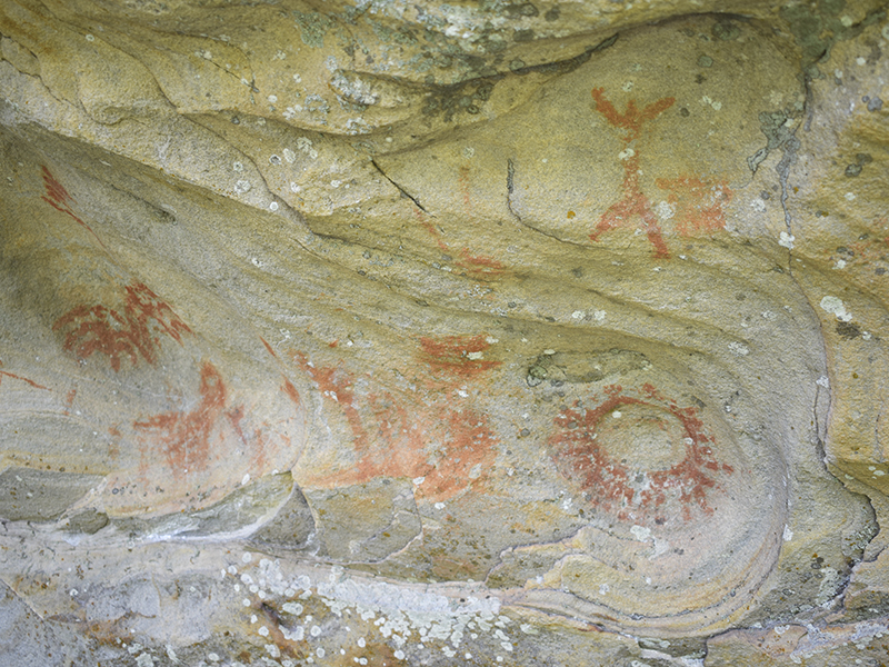
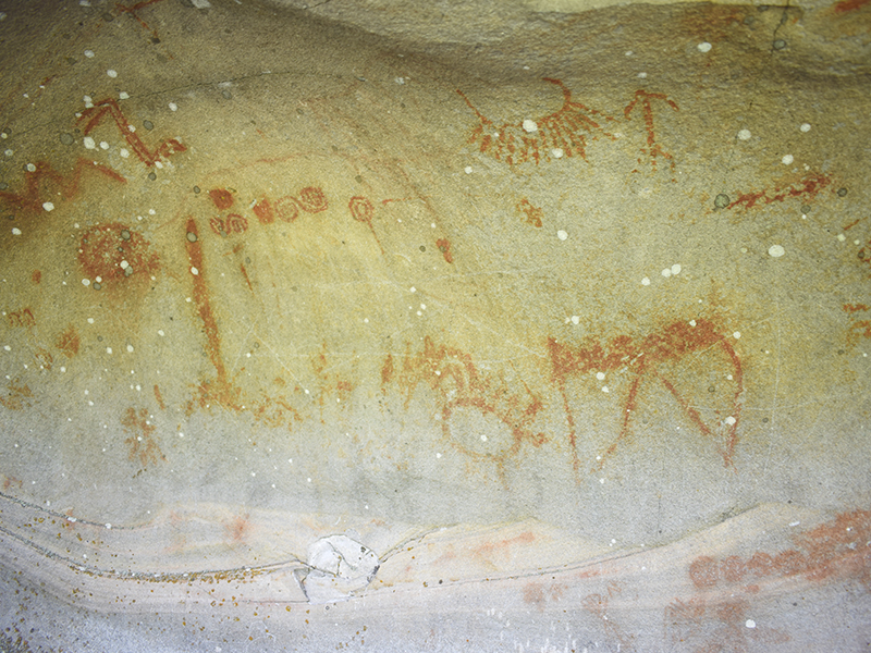
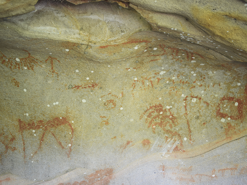
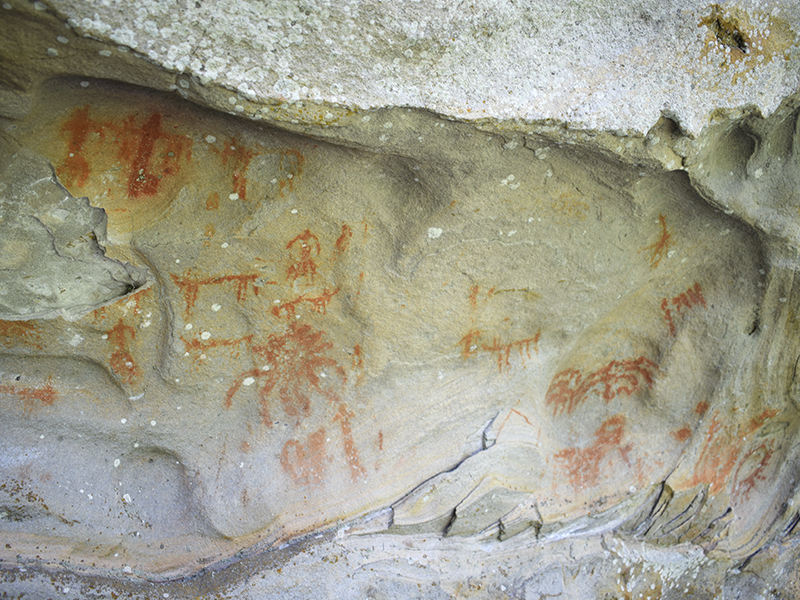
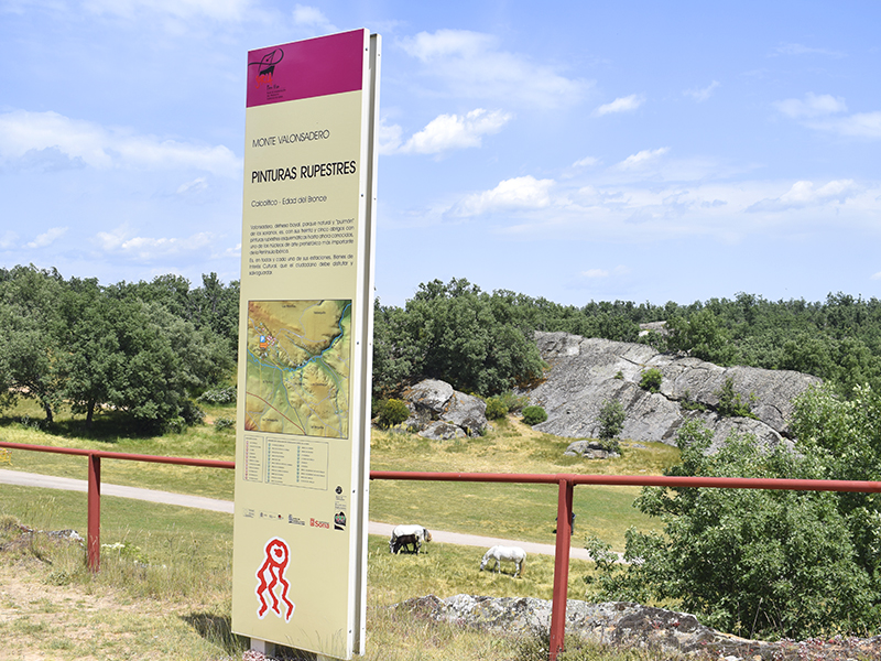
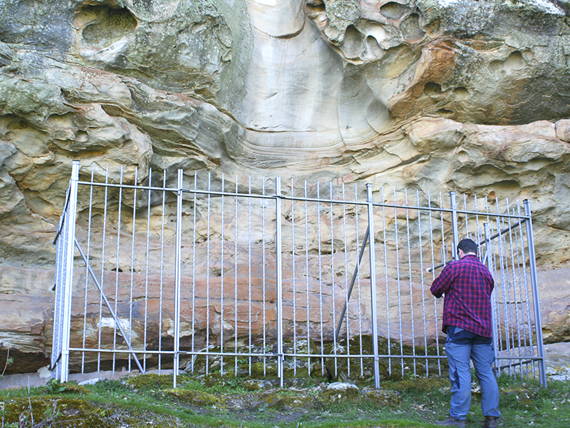
A few kilometers from Soria, the rock formations of Mount Valonsadero are the canvas on which anonymous artists neolithic plasmaron, taking advantage of the shelter provided while tending their cattle, scenes of daily life and religion.
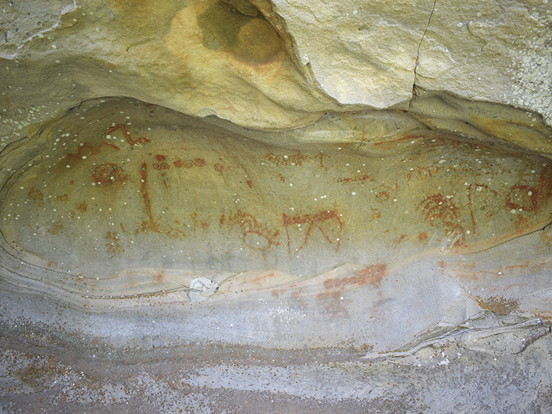
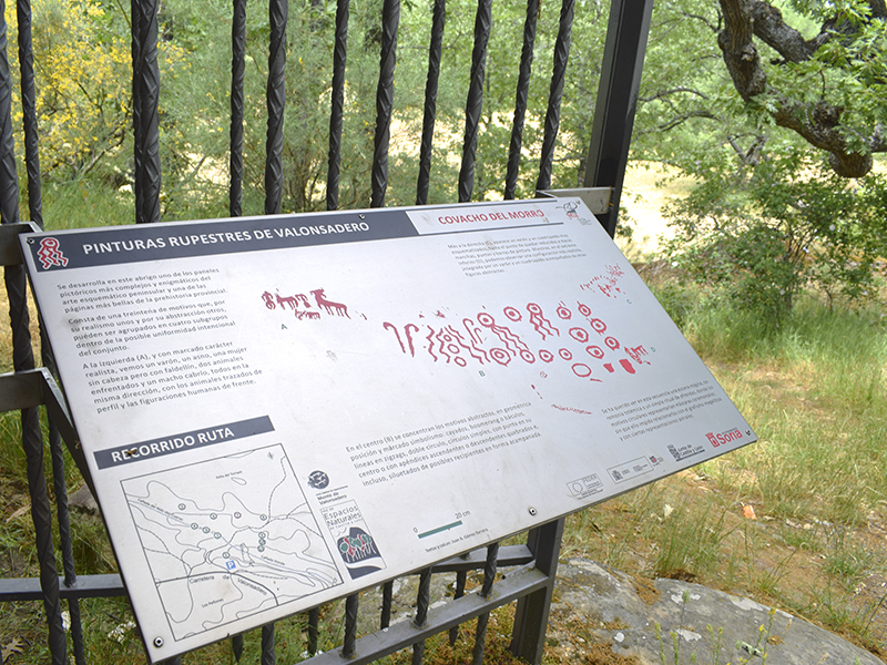
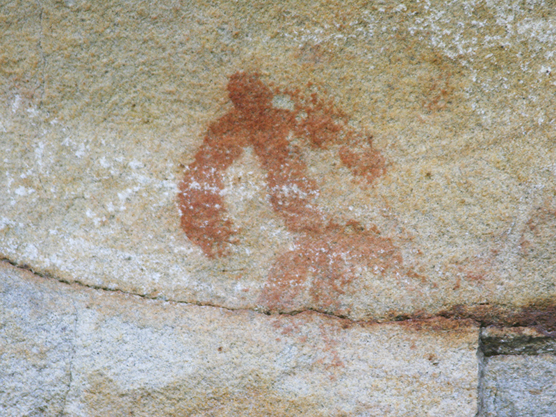
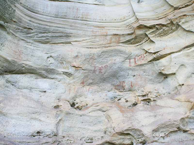
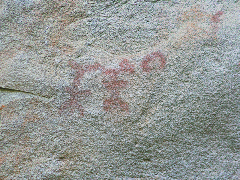
Throughout the whole itinerary you can enjoy the schematic rock art with a wide variety of small pattern red, the tone of ferruginous pigment extracted from rocks, very varied themes: business people, animals, birds, fish, guns, zigzags, several signs, etc. But among all it highlighted the prevalence of human and animal figure. According to studies the paintings date back between 3,000 and 2,000 A.C. year (Calcolítico- Bronze Age) and were made by nomadic peoples. With these schematic strokes made with his fingers these primitive men gave us information on their daily lives, getting to have now cataloged and classified more than 530 figures undoubtedly form a sample of a primitive and primordial art to understand how living our ancestors.
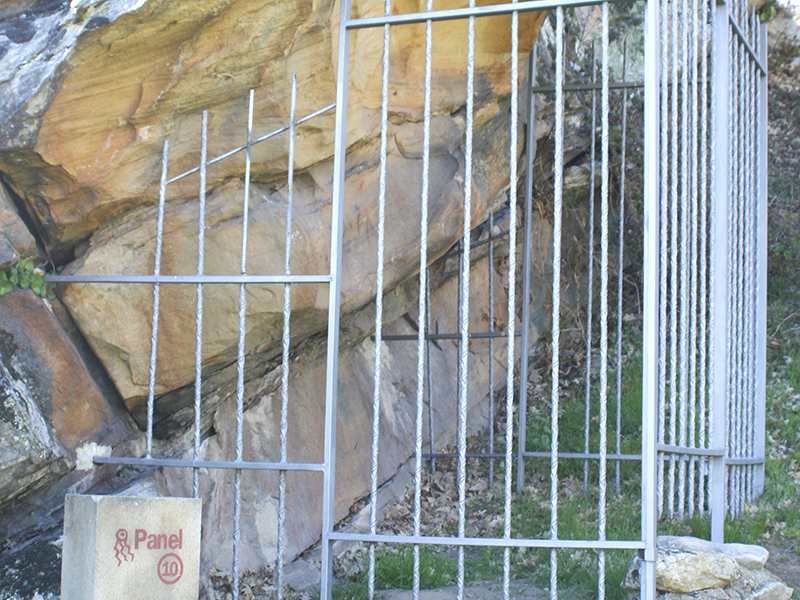
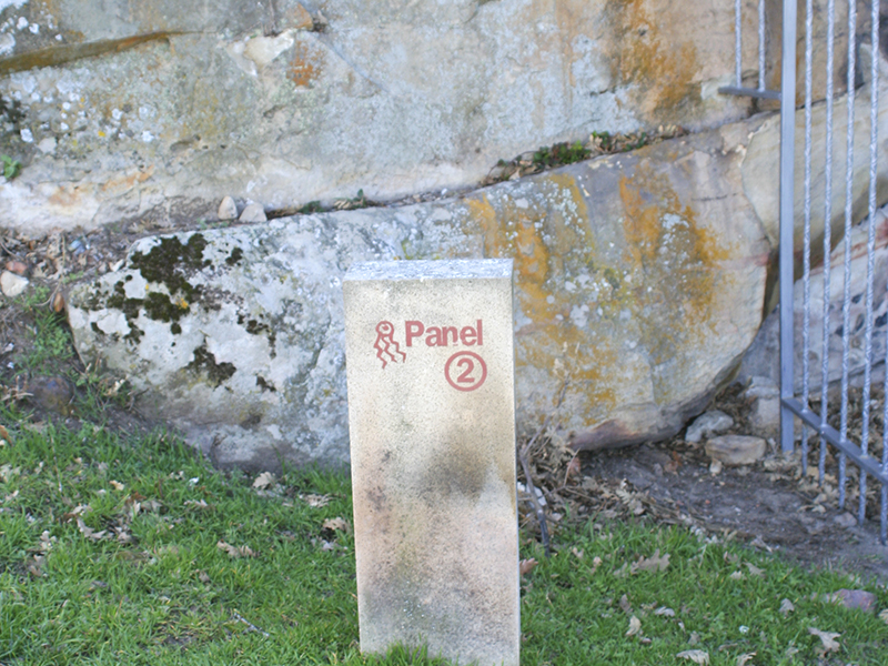
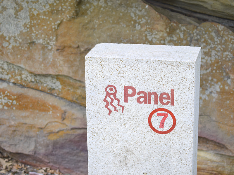
Scattered around Mount Valonsadero are 34 shelters that have interpretive lecterns that reflect the contents of each. Currently there marked an itinerary easily accessible with 11 stations, with corresponding directional milestones, to continue smooth the path that can begin in the general signaling panel (P) located in the upper parking Cañada Honda. Their curious names refer to the place where you are, terrain or their own characteristics. These are: Covatillas (1), the Covachón Puntal (2), Lastra (3), the Mirador (4), Peña Somera (5) Rock of the visor (6), Covacha del Morro (7), Majuelo Rock (8) and Peñascales I, II and III (9,10 and 11).
The cave paintings of Valonsadero were released by Teógenes Ortego in 1951, but were actually discovered by Bruno Tierno few years ago and have been studied by J.A. Gómez Barrera. The value of this broad set both by the number of coats and the variety of reasons, led to its declaration as Good of Cultural Interest in 1985 and also the Director of Culture of the Council of Europe's Committee has granted the hallmark of European Cultural Itinerary under the name Highway prehistoric rock Art comprising the totality of visitable places with prehistoric rock art in Spain, Ireland, France, Italy, Portugal, Sweden and Norway; itinerary in which paintings are included Valonsadero.
ROUTE FOR THE SPRINGS AND NATURAL RESOURCES
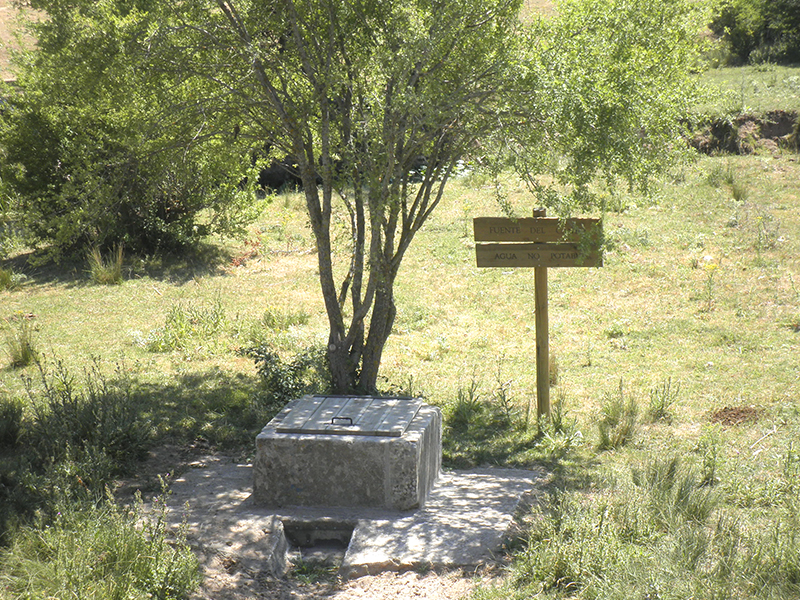
On Mount Valonsadero, there are sources and springs of natural character whose environment has been restored. It is seasonal springs that flow naturally in streams and vegas at certain times of the year. Many of them can only be seen in winter, and in most cases, wetlands or bogs formations between two ropes or through glens.
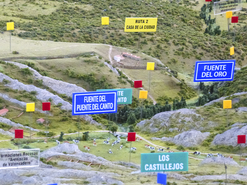
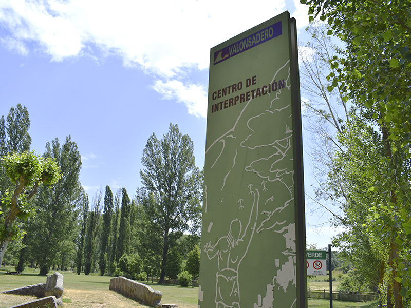
The route through the springs has a distance of 7 km, but before starting worth knowing the scale model (1) of 80 square meters of Monte Valonsadero (10 meters long and 8 meters wide), created in 2000 and restored in 2009. the model reproduces scale and accurately each and every one of the resources of the mountain and is located in the cabin, traditional construction, only 3 minutes from the Casa del Guarda, recreational area of the natural landscape Classroom environmental or Interpretation Center. Very close to this area is the oldest bridge of the entire natural extension, Pedrajas Bridge of the sixteenth century.
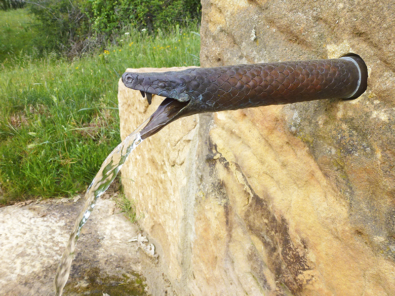
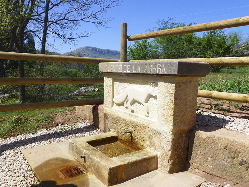
After an overview of the extent and resources can start the own route of the sources, recovered gradually since 2011, and have a specific signaling to make them more accessible. The visit suggested points on this route are the Source of the Vixen (2), which consists of three blocks of sandstone which the central sits another with a bas-relief of a bitch. Water flowing from the pipe drops to an enclosure formed by three stone blocks and flows through a grid; from this space the bottom left views the magnificent peak Fronts.
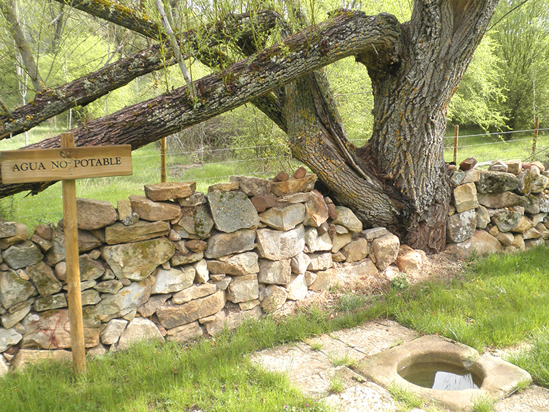
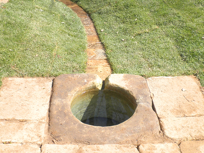
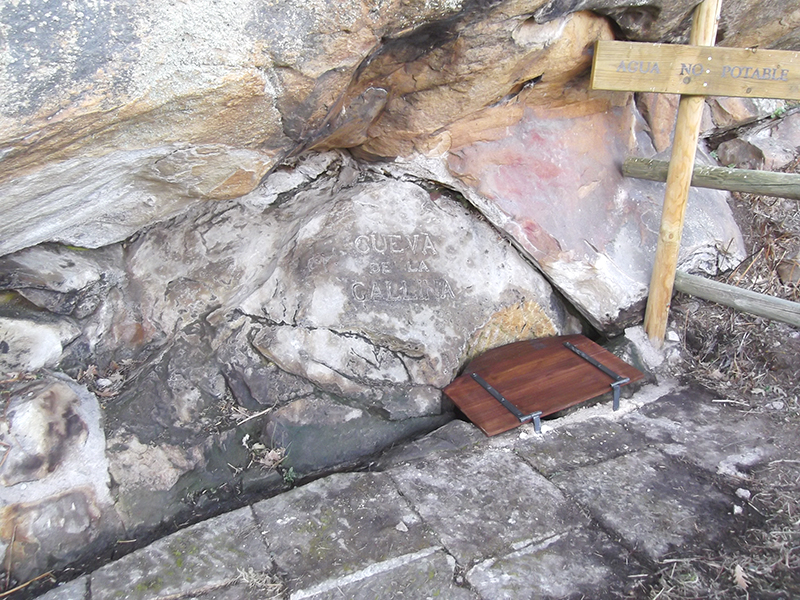
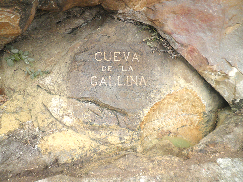
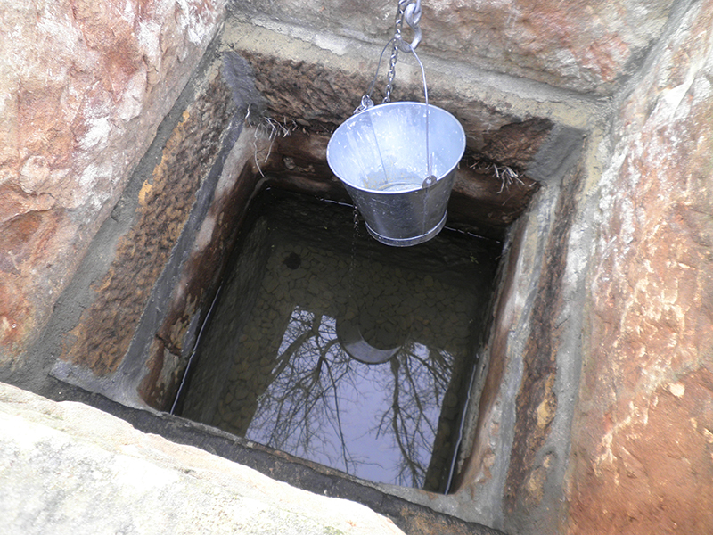
Then the Source of Canto (3), very close to the bridge of the same name, one of the many old buildings that are still standing on the mountain, most likely from the sixteenth and seventeenth centuries. This source has the appearance of a small well built with ashlar stones that were found buried in its original state. A few meters we find the Fuente del Oro (4), which is the main source of all the place whose name is associated with the quality of their water. We can continue the route to the next point la Fuente de la Cueva Gallina (5), no mana soil but the water runs through the rock that is home to place it in a small pond.
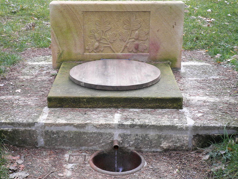
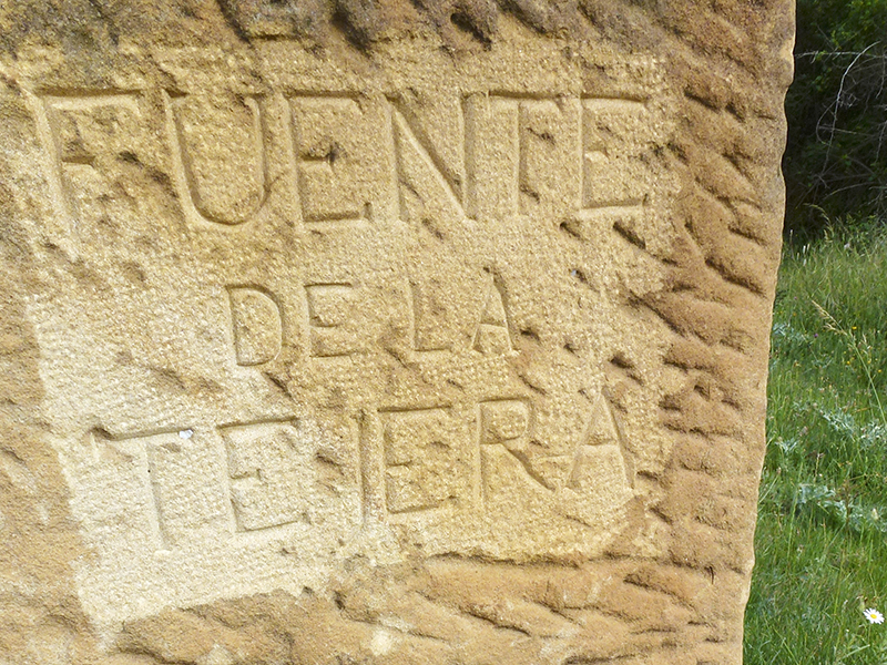
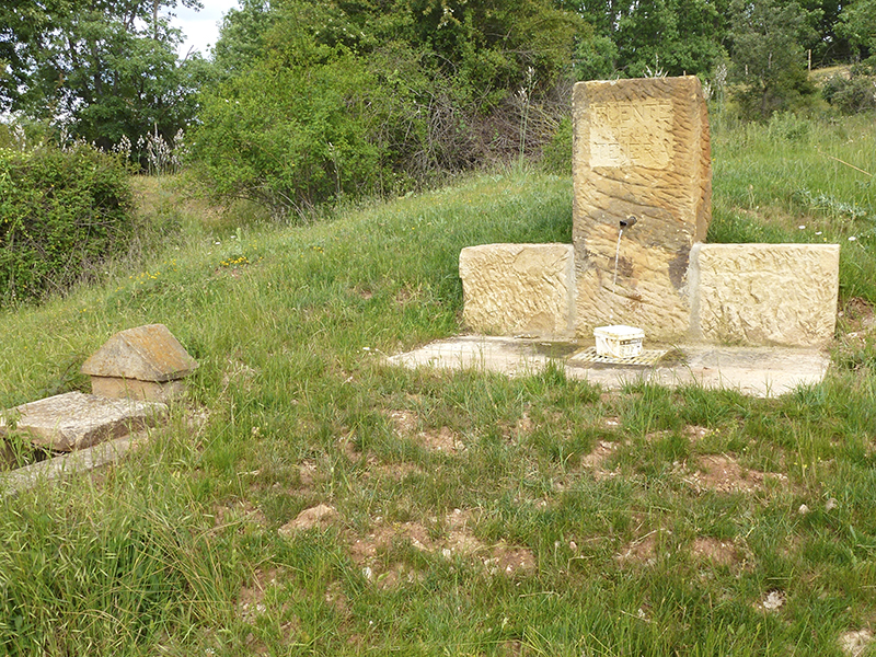
If you would like to continue walking to almost 4 Km we find the Fuente de la Tejera (6) with three blocks of sandstone with another top center of the pipe emerges leaving the water collected in a small watering hole and finally and somewhat farther Source Cubillo (7), the most expensive to recover to not retain its original stone; the source currently consists of sandstone with a cubic shape. Water flows through the upper sobradero to a pool where you can appreciate the smooth flow of the source and is accompanied by other sandstone carved by hand with plant motifs, some leaves and acorns rebollo, most characteristic tree of Monte Valonsadero.
| Long | 7 Km aprox. first track
11,8 Km the whole route |
|
| Road | Nature | |
| Difficulty | Low-mid | |
| Terrain | Paths | |
| Brochure | Download info |


