BY GREEN AREAS
BY GREEN AREAS ROUTE
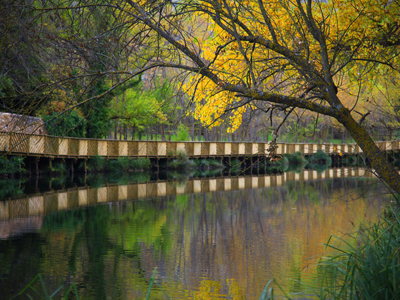
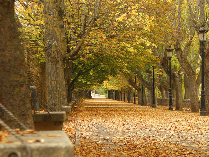
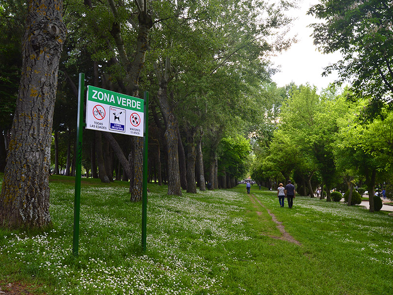
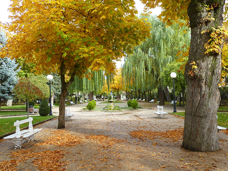
The first proposal to start this route is the Park Alameda de Cervantes (1), which everyone knows as La Dehesa and that is the real green lung of the city. If it is autumn the season you have chosen to visit us, you will find this park lined with leaves, so your ride will be accompanied by the evocative crunch of footsteps. If it's winter, get close to the source to see if the ice has stopped his icy hand with the rise of water. In spring, you receive the rose garden overflowing with colors and scents. And if it is in the pleasant summer season when you journey through this space, you can hear our music tree, in whose temple flutes, clarinets and other woodwind instruments of the Municipal Band competed with the cooing of birds.
One can say that this municipal park is the botanical garden of the city, authentic witness of plant biodiversity to meet and see native plants and other distant or exotic origin. It covers an area of over 9 ha. and its location in the center of the city is one of the points with relevant social role in the city which hosts many events and activities, of which highlight the Book Fair EXPOESÍA or the National Duathlon Championships.
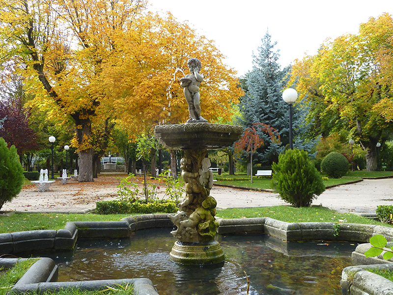
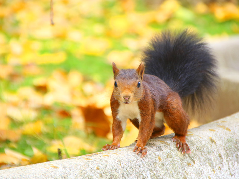
The Alameda de Cervantes can be divided into distinct areas: Walks and gardens among which we find several sources among which the Source of the Child which forms a beautiful whole with its pond; the Rosaleda carefully arranged symmetrically around a central promenade and the vast prairie of "high Dehesa". In addition, during the walk in the park you can also visit the Ermita de la Soledad and dovecote shaped granary, without forgetting the many species that trees provide shelter insects, reptiles and birds such as titmice, chickadees, jays , hawks, orioles, larks, among others, in addition to a colony of pigeons and numerous red squirrels.
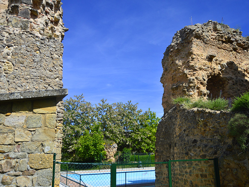
From here we head to the Parque del Castillo (2) on the hill that bears his name, with rides, romantic walks around the ruins of the fort, swings and even a pool for the little ones. This point is the true viewpoint of the city, a privileged balcony in which to contemplate and enjoy different panoramic views from the newest area with the University and the Municipal Stadium in Los Pajaritos, to the banks of the Duero with the Ermita de San saturio to the most monumental and central area of the city. In this park is the National Parador Antonio Machado and original exhibition gallery in the old water tank, now in disuse. The wide variety of plant species along with their inhabitants (birds, lizards, squirrels, ...) contribute to the delight of anyone visiting this area of the city.
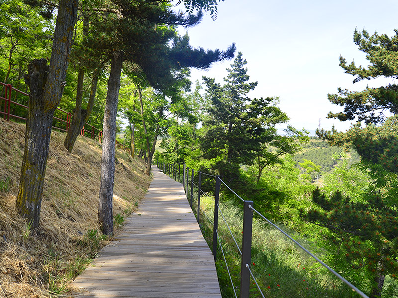
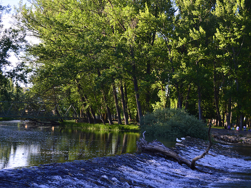
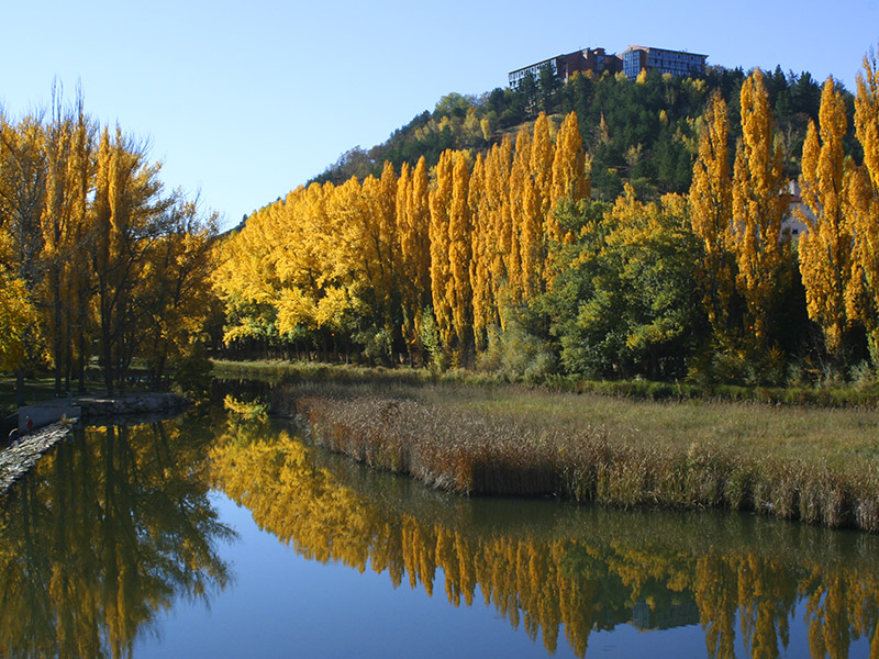
Continuing our itinerary descend calls "seven corners" to the banks of the Duero (3). For a few years, both sides of the river have been adapted for recreational use. From the medieval bridge, upstream, runs past the monastery of San Juan de Duero, an interpretive path with the various resources that are around the river. Near the Visitor Reception Center is located a medieval snowfield. Until the advent of industrial refrigeration, the only way to have ice all year was introduced and compacted snow fell as wells until colmataban. The Sotoplaya waters, an island between two arms of the Duero, the Iron Bridge and the Water Museum and the Ecocentro below appears; these are two related facilities located to the environment along the Paseo de San Prudencio. Next to the first of the buildings worth visiting the laundry restored and when the building, the recovered Noria del Carbonero that by animal traction, turned a horizontal lever that moved the motion gears which, in turn, moved the chain containers that drew the water with which it is watered. Now is the visitor who performs this action personally experiencing this ancient process. We can continue for much longer our walk, either along the shore in which we are either on the other hand, returning by the romantic San Saturio walk up to the hermitage of Soria pattern.
This area of the river also offers the opportunity to tour several approved trails, one ascending to the top of the mountain Santa Ana, exceptional viewpoint from where you get a panoramic view of Soria, and one that leads to the place of Valhondo, where the river flows between rocks.
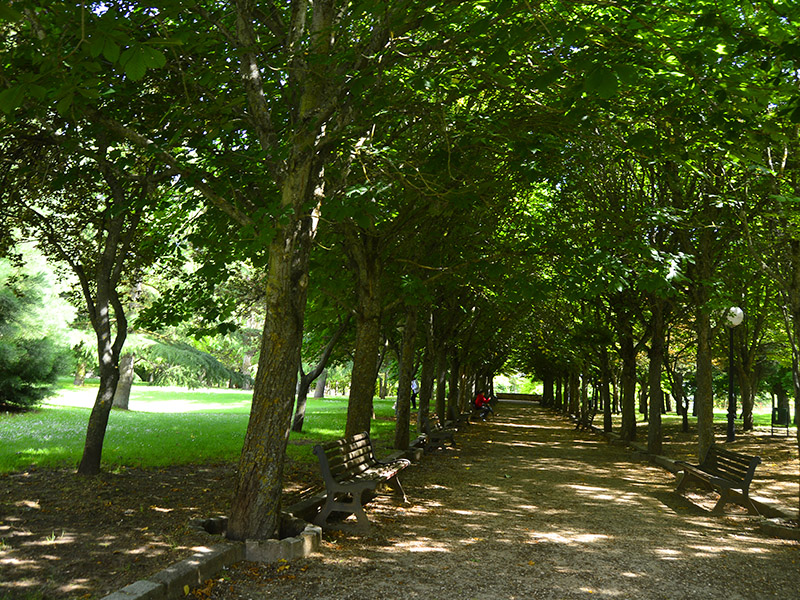
But Soria capital still offers visitors many more green spaces scattered throughout the city as the Park Santa Clara, protected within the walls of the old convent; the Santa Barbara, modern and spacious with children's play areas; Grove, secluded and traditional; the Pajaritos next to the skate park, El Miron, Fuente del Rey ...
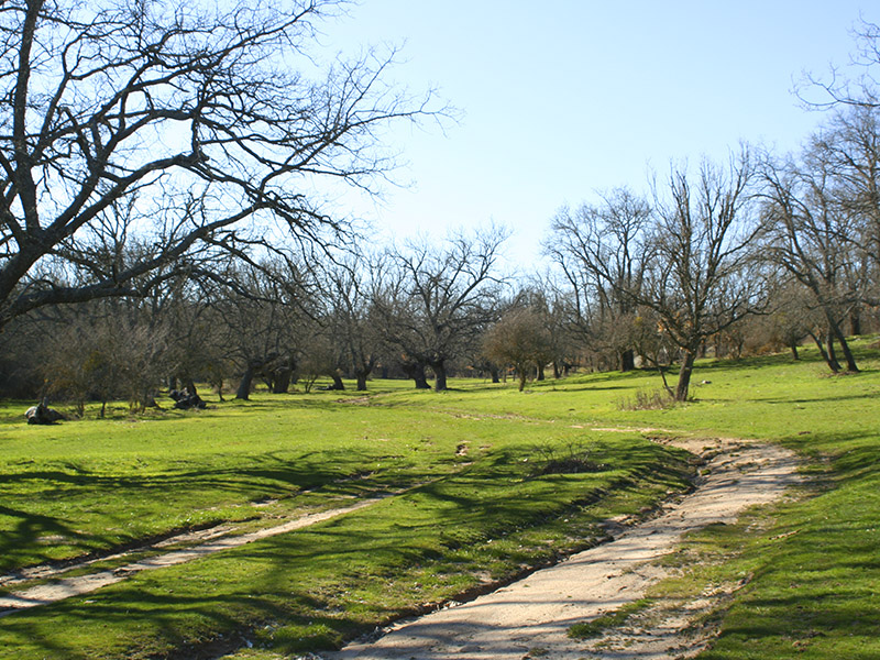
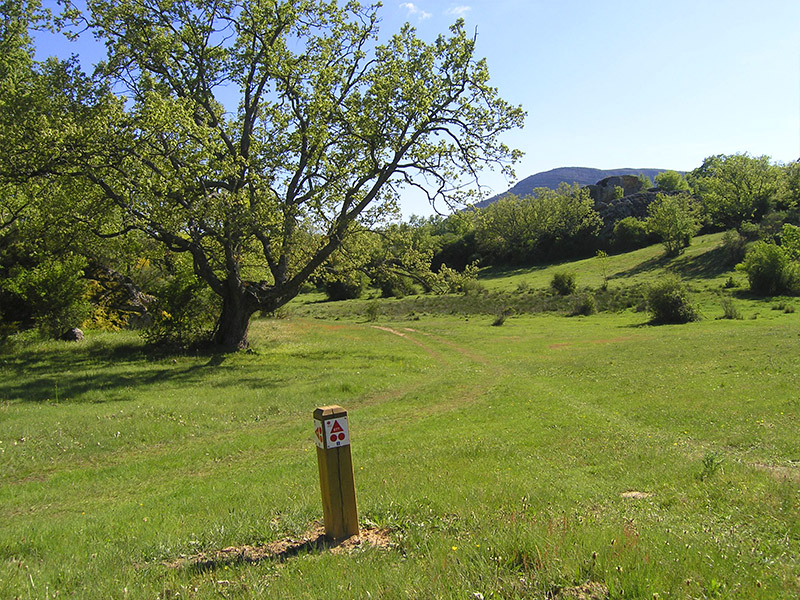
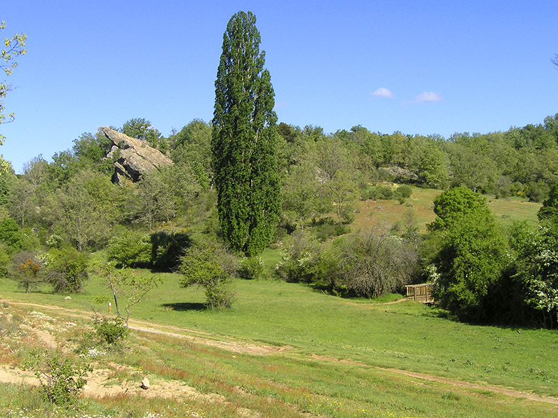
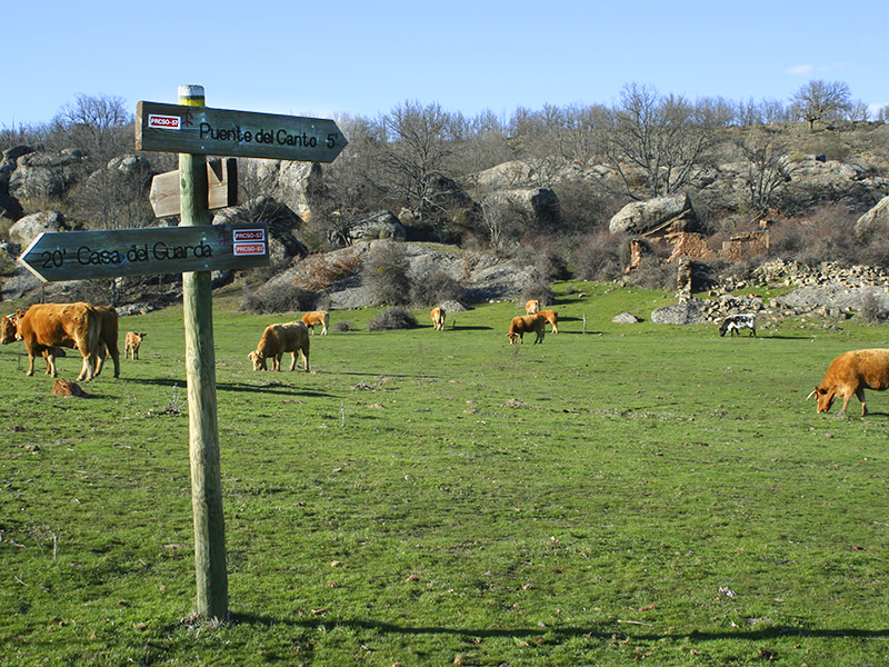
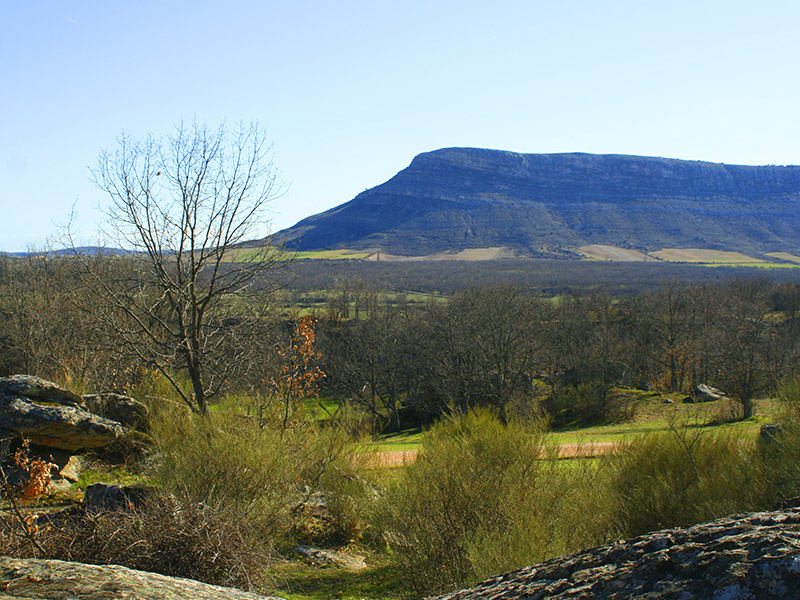
Finally just over 8 kilometers from the city of Soria, Mount Valonsadero (4), a mountain of public ownership, synthesis of many of the values is located to Soria capital offering cultural and natural resources, tradition, gastronomy and spaces for leisure. Its nearly 2,800 hectares are home areas converted to pasture oak, pine spots, fertile meadows for cattle and as a northern boundary, the Douro River. Pico guarded by the fact Fronts and mild autumns, springs and colorful fiestas sun, wine and bulls, houses a rich fauna geological, botanical, cultural and make it an exceptional place. Its grasslands and natural glens are the setting for some of the most representative events of the festival of San Juan, such as Purchase Toro or Saca, or for the development of important International Cross of Soria. Many are conditioned spaces for recreation and infrastructure Hosteleras offering their services. But if there is an element that stands out in the landscape of Valonsadero, that's the geology, multiple sandstone rocks with gentle slope to the south and steep cut on the north side and coats with cave paintings.
On Mount Valonsadero we can also find a variety of approved Senderos, whose lines provide insight into many interesting and different areas of the mountain as the House of the City, the Board of Rivers, the Puente del Canto and a route of springs, among other.
Further from the city, but of equal interest, with itineraries of Pinar Grande where it runs short distance trails and cycle route, an essential place to soak in a sea of pine sprinkled with the waters of the reservoir of La Cuerda del Pozo .
| Long | 3,4 Km aprox. | |
| Road | Urban | |
| Difficulty | Low-mid | |
| Terrain | Pedestrian streets and roads |


